Bureau of Meteorology
Designing data to secure the future of Australia's critical infrastructures
We partnered with the Bureau of Meteorology to help them bring their latest landscape water balance data product to market with a digital vision and validated prototypes.
Outcomes
Strategic vision for a new data platform
Design and development roadmap out to 2020
A beta launch scheduled for early 2019
Capability and processes to build on for future projects.
Services
- Product innovation
- UX and UI design
- User testing
Changing Climate
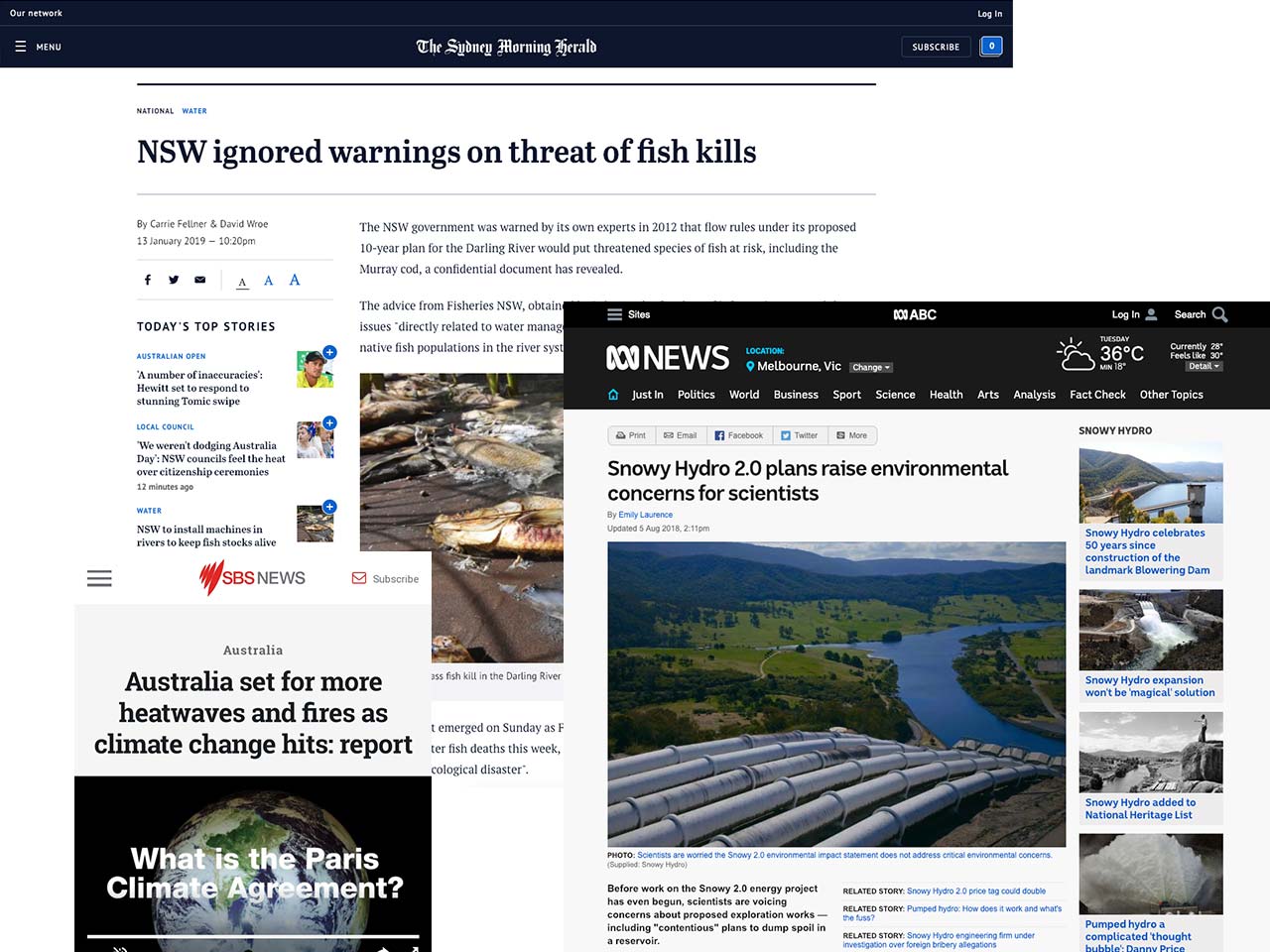
The organisations tasked with providing us safe water, recreational waterways, waste management, usable roads and many other critical infrastructures face a challenging future due to the impacts of climate change.
To make better strategic and planning decisions, these organisations need accurate data on soil moisture, surface runoff and evapotranspiration, to help them to understand how the land that supports these infrastructures is changing.
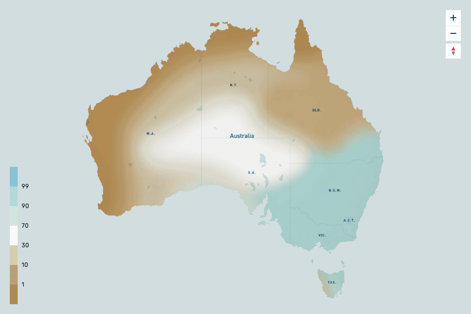
Data being developed by leading scientists at the Bureau of Meteorology is set to become a key component of how organisations manage and deal with the pressure of climate change by bringing together global climate change models, forecasts and observations to provide a nationally consistent set of spatial data for the landscape water balance from 100 years ago to 100 years into the future.
Data Adoption
Working in partnership with the User Centered Design team and scientists at the Bureau - we ran an iterative research and design process across 4 states, 14 different organisations and a total of over 40 people.
The organisations and individuals we met highlighted the challenges they face when using new data sets and understanding the science behind them. These challenges could lead to them failing to adopt the data sets or, even worse, use the data incorrectly.
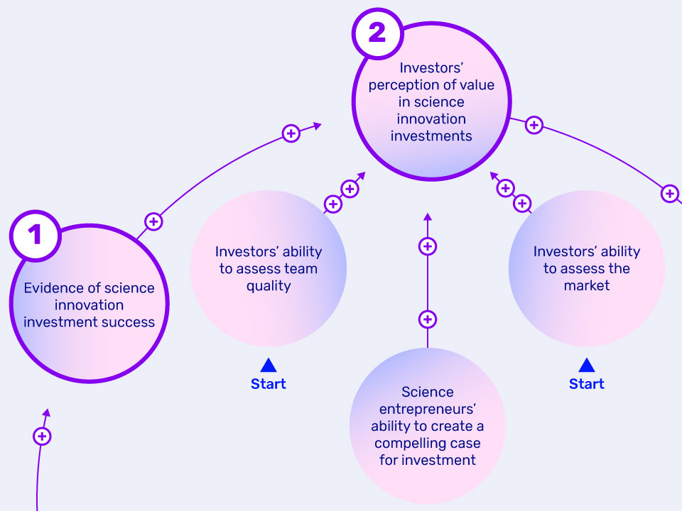
By understanding the different modes the users operated in, which we dubbed 'the tourist', 'the explorer' and 'the local', we had the opportunity to connect them to that data in a more meaningful and useful way.
A diagram representing the different modes of investigating data and the steps organisations go through to adopt new data sets into their work flows.
Scientific Engagement
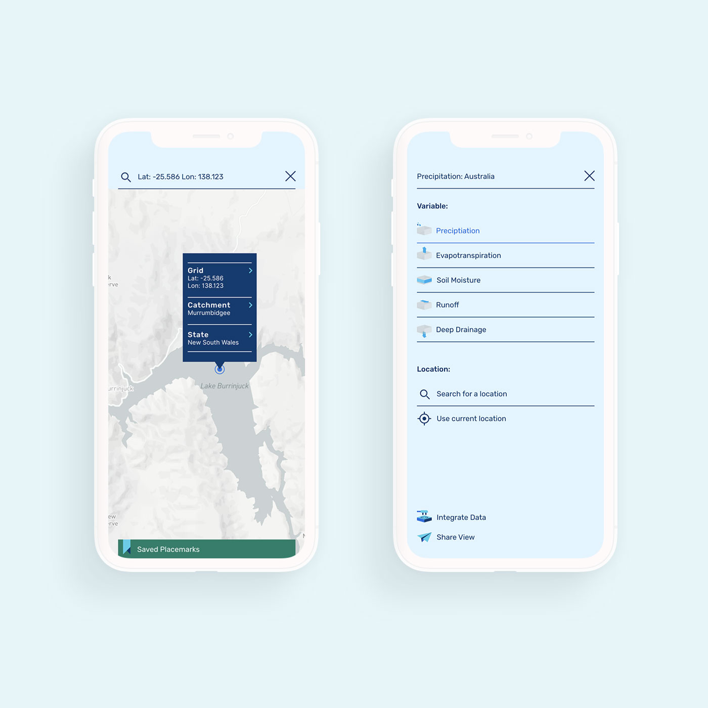
Our solution was a vision for a new digital experience that went far beyond providing data. We designed a community data hub that encouraged adoption and understanding by bringing together science, data visualisations, case studies, webinars, tutorial videos and experts in one place.
This future vision was thoroughly tested throughout the process by using prototypes to validate that the messaging, data visualisations and community engagement strategies were going to meet the needs of the scientific community.
By prototyping as we went, we ensured that the Bureau had the confidence, tools and knowledge they needed to effectively communicate the value of their products to these organisations.
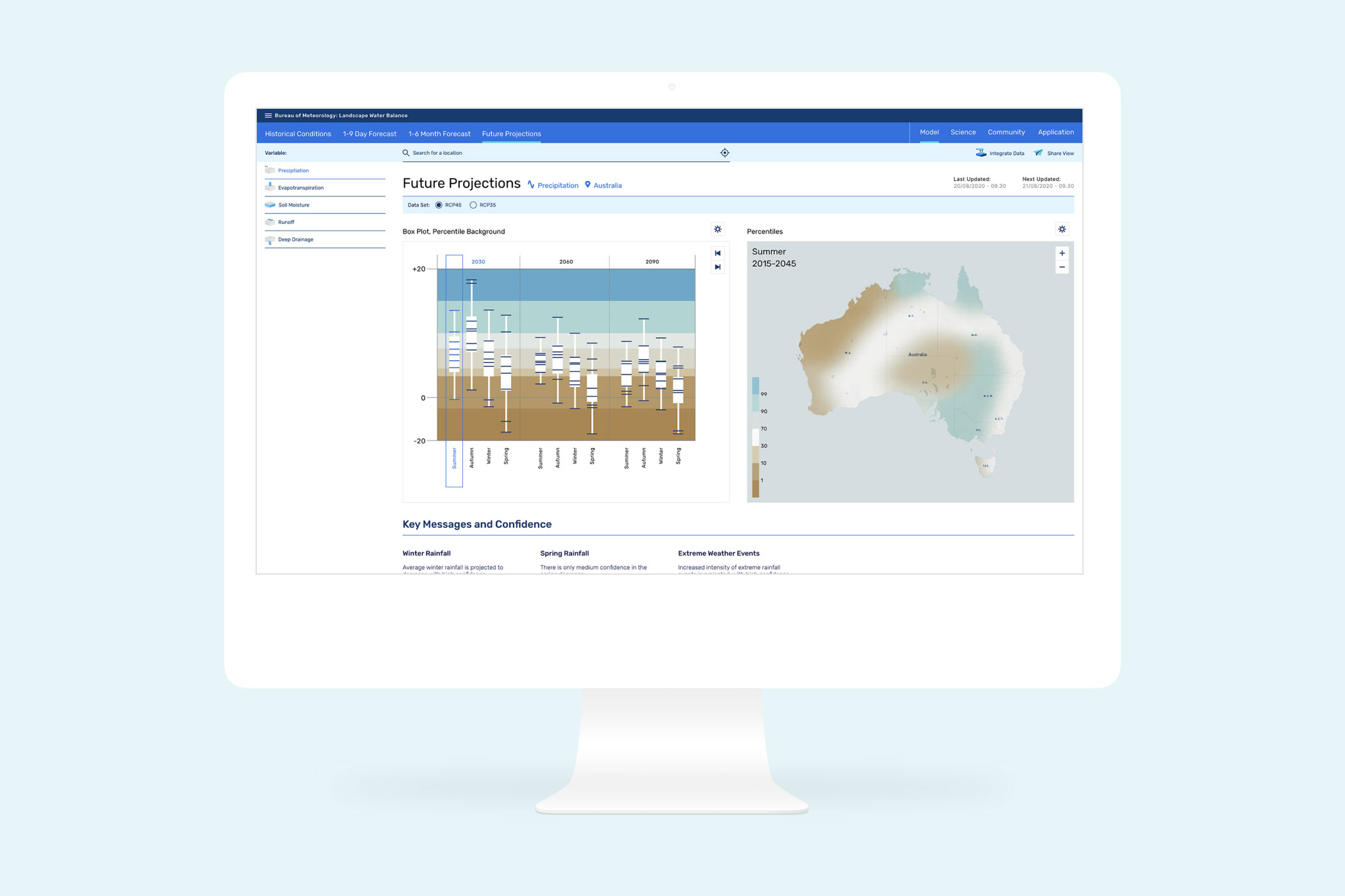
The user interface designed to create the future vision for the Bureau of Meteorology's landscape water balance products.
Thanks again for exceeding our expectations. We’re really excited to continue through with pre-launch comms, engagement and building the new product.
— Chantal Donnelly, Bureau of Meteorology
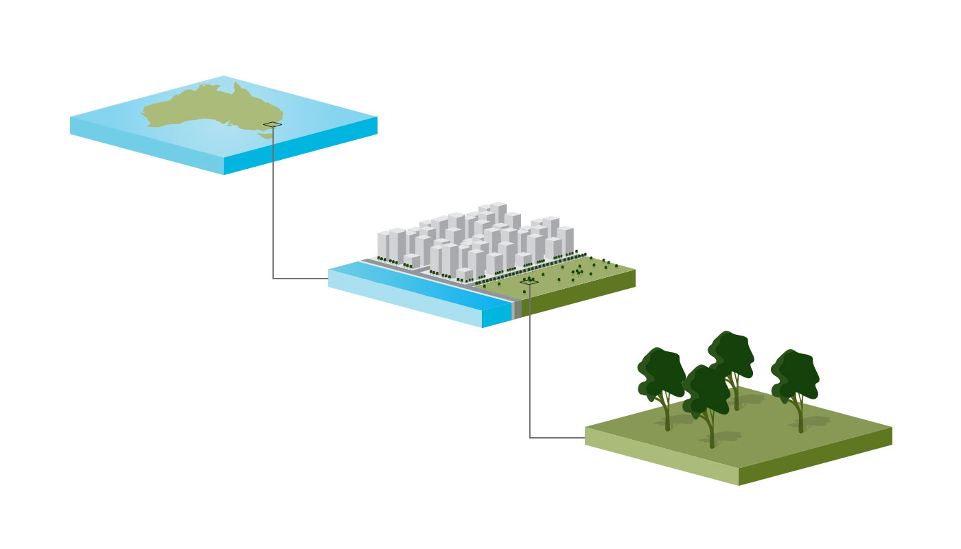
An illustration showing how the gridded data system worked. It was used as part of a product primer that was sent to the key organisations that will use and benefit from the data.